

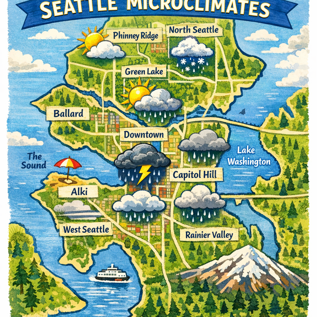
Seattle’s weather is renowned for its variability, a characteristic largely attributed to the city’s diverse microclimates. These localized climate zones result from Seattle’s unique topography, proximity to water bodies, and prevailing wind patterns, leading to distinct weather experiences across different neighborhoods.
The Wild Zone: Green Lake North
From Green Lake north to Shoreline, the Puget Sound Convergence Zone creates a narrow band of active weather infamous for producing heavy rain, hail, lightning, and even snow. This phenomenon occurs when winds collide after journeying around the Olympic Mountains, leading to sudden and intense weather changes in this area.
The Snow Hole: Ballard
Ballard’s low elevation and proximity to Puget Sound often result in milder winter conditions. During marginal snow events, while surrounding areas may experience snowfall, Ballard frequently remains under cold rain, disappointing snow enthusiasts in the neighborhood.
The Wind Tunnel: Husky Stadium
Attendees at the University of Washington’s Husky Stadium should prepare for brisk conditions, especially during storm season. The stadium’s design and location funnel winds through the area, creating a wind tunnel effect that can make temperatures feel significantly colder.
The Sun Capital: Downtown
Contrary to Seattle’s rainy reputation, the downtown area often enjoys drier and sunnier conditions. The higher terrain of West Seattle acts as a barrier, blocking some of the rain and allowing more sunshine to reach the city’s core.
The Snow Belt: West Seattle
Elevated areas in West Seattle are more susceptible to snowfall during winter months. The higher elevation means that while lower areas may experience rain, these hilltop neighborhoods can see accumulating snow, creating picturesque winter scenes.
The Fog Zone: Eastgate/South Bellevue
Drivers traveling from Seattle to Issaquah often encounter dense fog near Eastgate and South Bellevue. The rapid elevation change in this region leads to temperature drops, facilitating the formation of fog that can reduce visibility and make driving conditions challenging.
The Wettest Place: Rainier Beach
Rainier Beach receives more rainfall annually than any other Seattle neighborhood. Its location, farther from the rain-shadowing effects of the Olympic Mountains and closer to the rising air of the Issaquah foothills, contributes to its higher precipitation levels.
The Heat Dome: Sea-Tac
Sea-Tac Airport consistently records higher temperatures during summer months. The abundance of asphalt, limited tree cover, and continuous human activity contribute to the urban heat island effect, making it one of the hottest areas in the Seattle region.
Understanding these microclimates is essential for residents and visitors alike, as they influence daily activities, commuting, and even clothing choices. By recognizing the unique weather patterns in each neighborhood, one can better prepare for Seattle’s ever-changing climate.